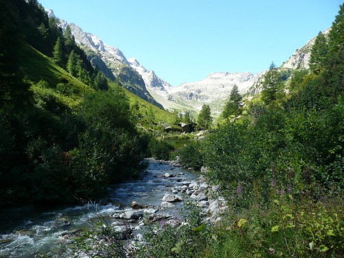
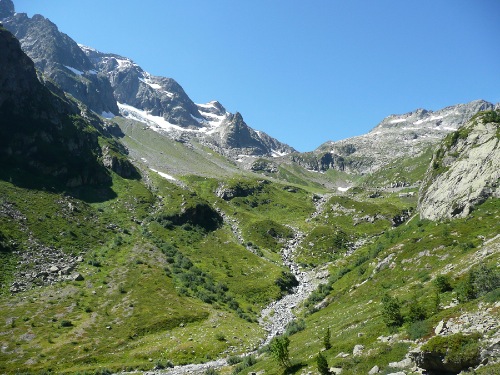
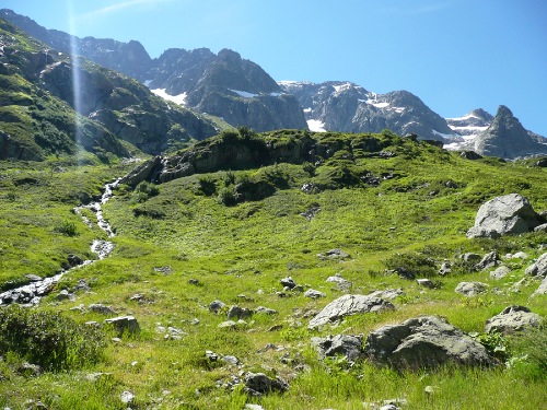
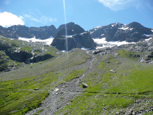
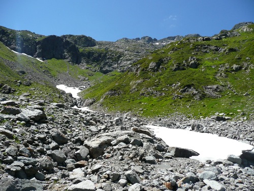
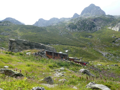
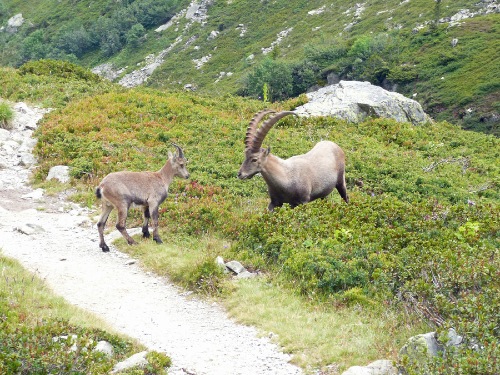
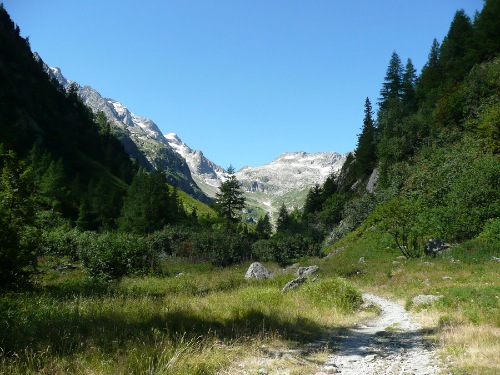
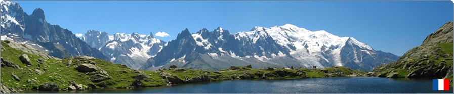
 17 - Refuge de la Pierre à Bérard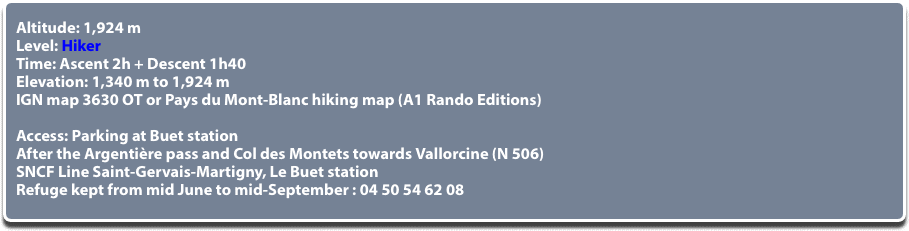 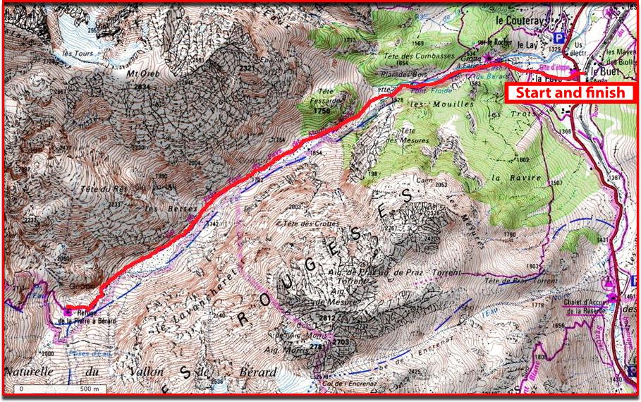 © GEOPORTAIL   Half a day is enough for a round trip but a day is nice to enjoy the torrent on days when the sun is shining and snowfields can sometimes be seen above the refuge. (EDF warning sign risk of rapidly rising waters). Extension to the Bérard pass in 1h45 (climb only) or to the Salenton pass in 2h (climb only). Blueberry picking on the way in season. Ibex and marmots if you’re lucky. Well signposted path to follow starting opposite Le Buet parking lot. The trail goes through the Poya village chalets and then climbs into the forest. In 15 minutes, bar of the Eau de Bérard cascade. Continue along the right bank of the torrent (thus left of the torrent). About 1,650 m, end of the forest floor. You advance into the valley of Bérard which later divides into two branches, take the one on the right to go up and back down by the one which follows the river closely. The valley is dominated by the Buet foothills on the right and to the left by Les Aiguilles Rouges. In the distance one can see the refuge standing against its big stone block, once used as a landmark for shepherds to lead the flocks to pasture. The glaciers that were once much bigger, dominate the site. For those who wish to climb Mont-Buet (3,096 m) the next day (about 3 hours up and 2 hours downhill), one can sleep at the refuge, (40 beds). Comfort: omelets, crusted Bérard, mountain plate, gratin of Crozet, tartiflettes, blueberry tarts, etc. © All reproduction prohibited. | ||
 | ||