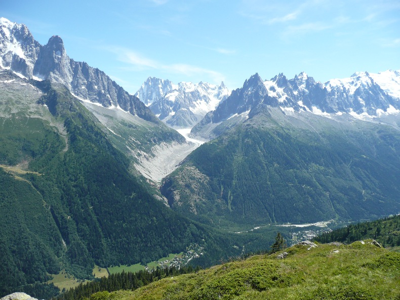
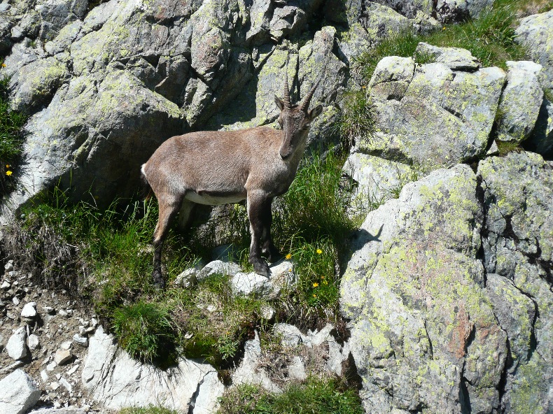
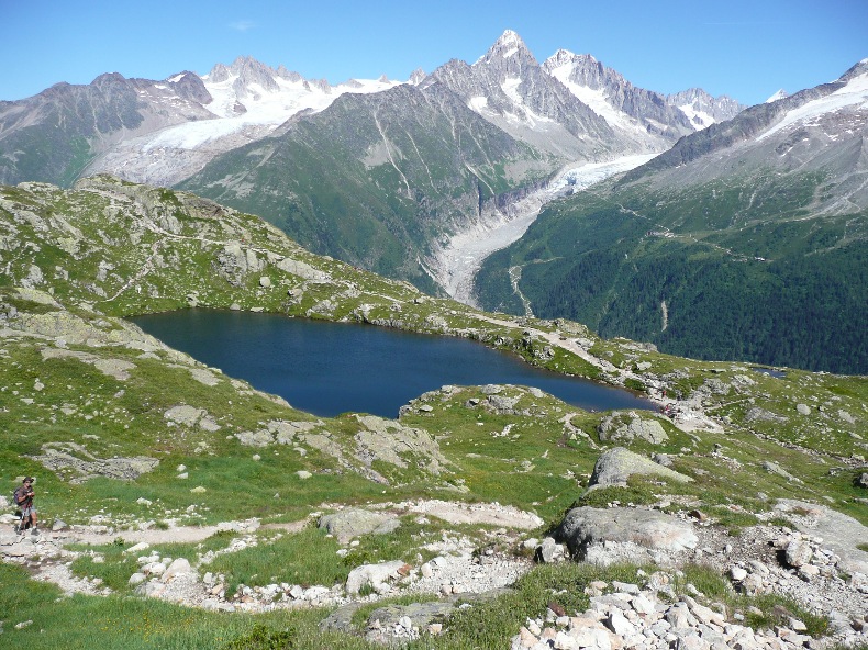
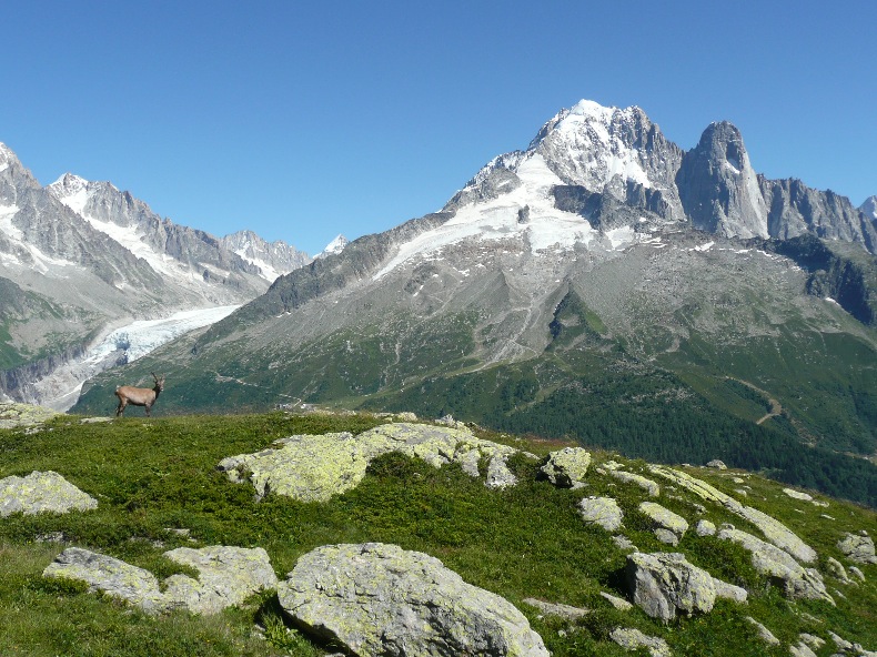
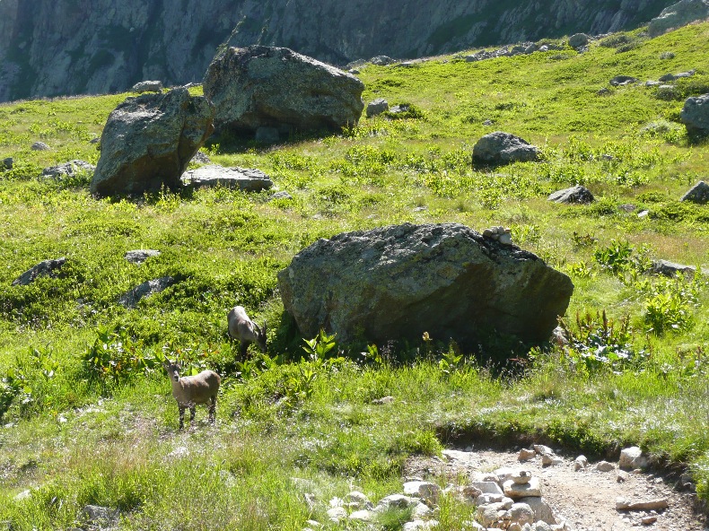
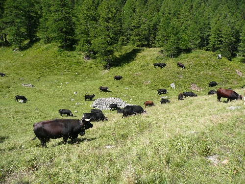
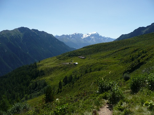
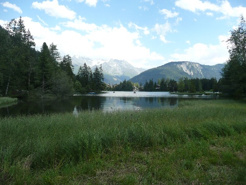
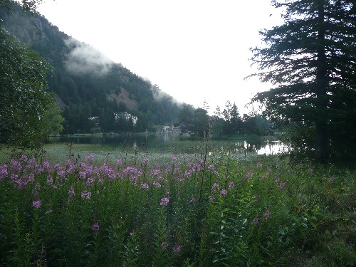
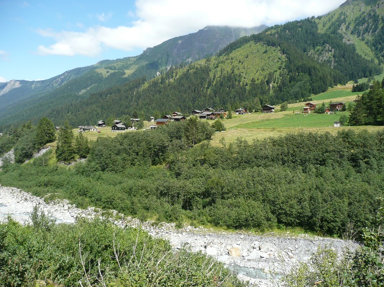
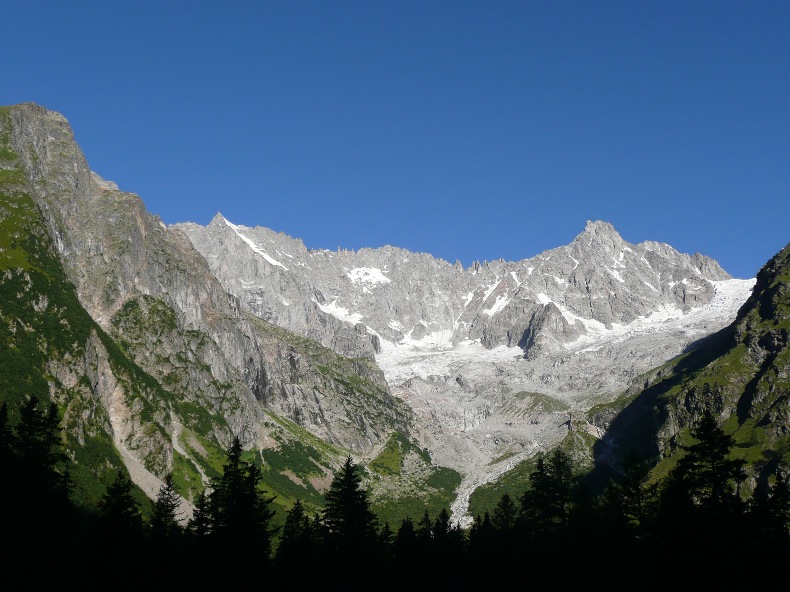
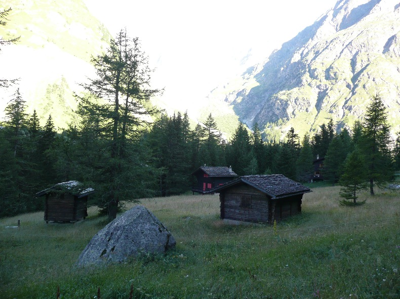
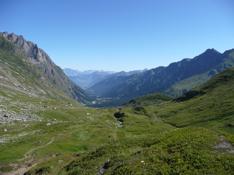
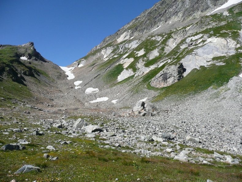
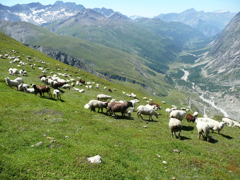
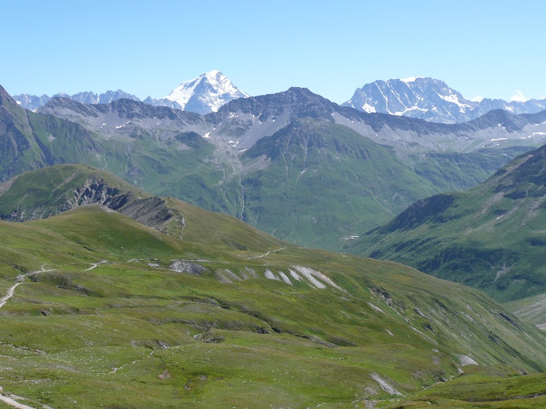
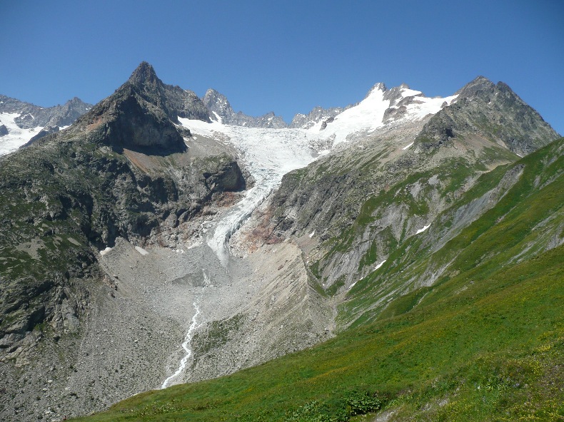
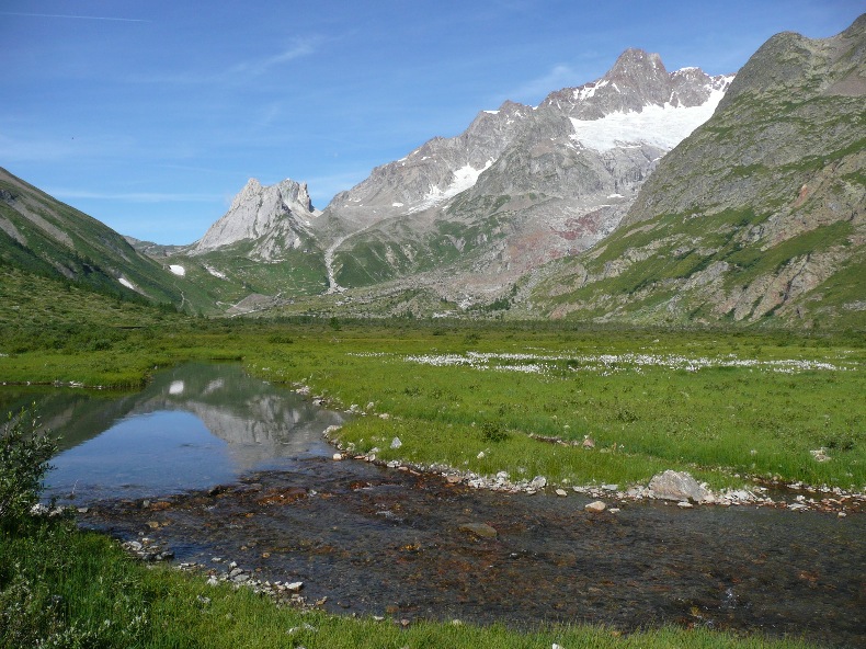
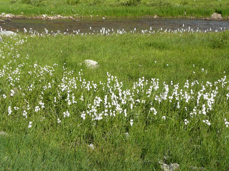
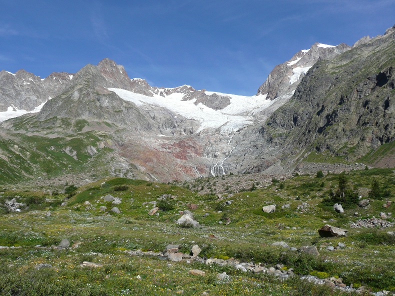
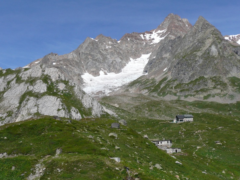
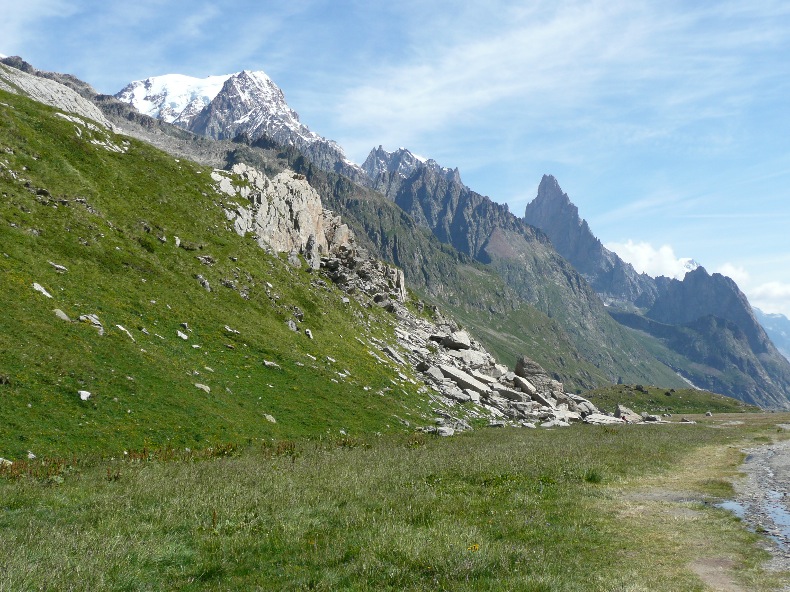
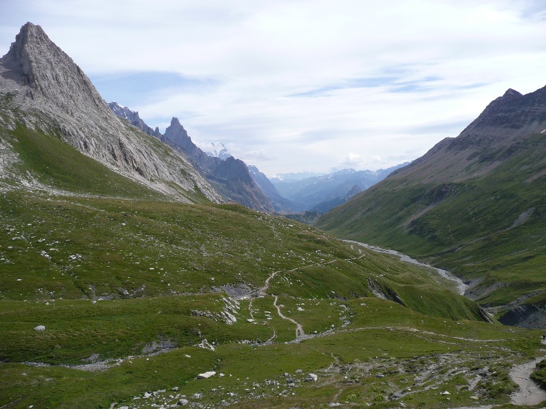
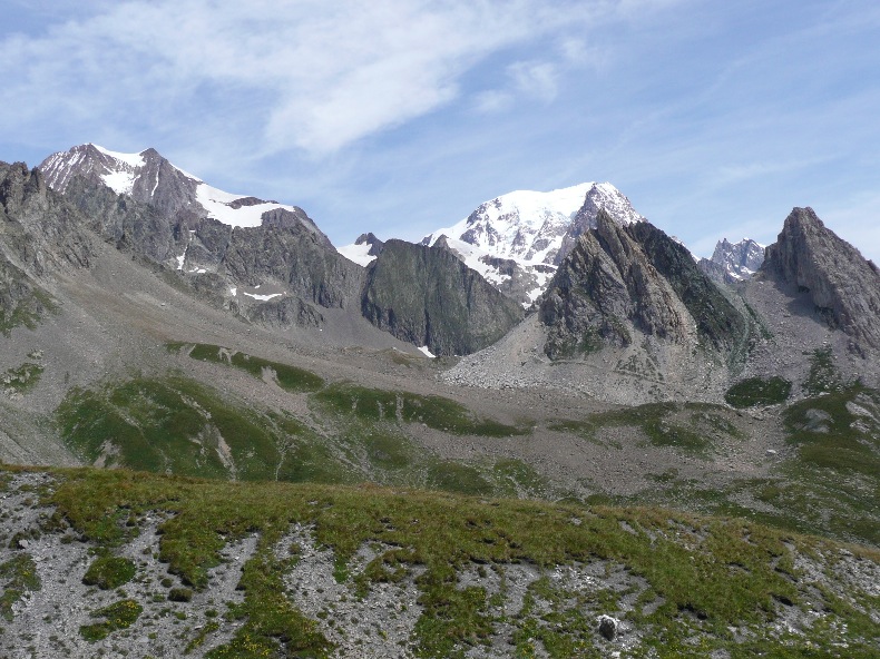
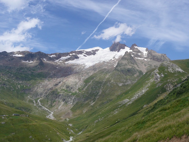
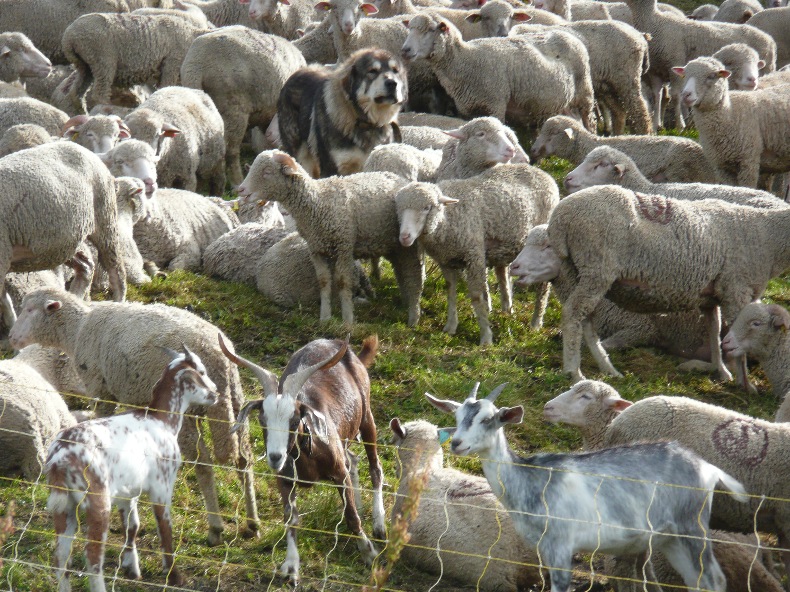
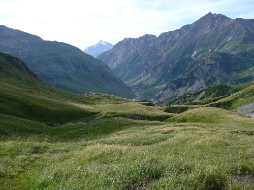
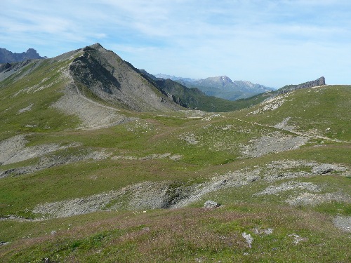
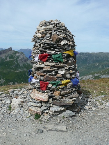
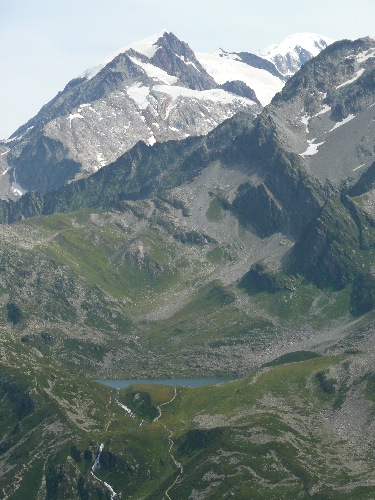
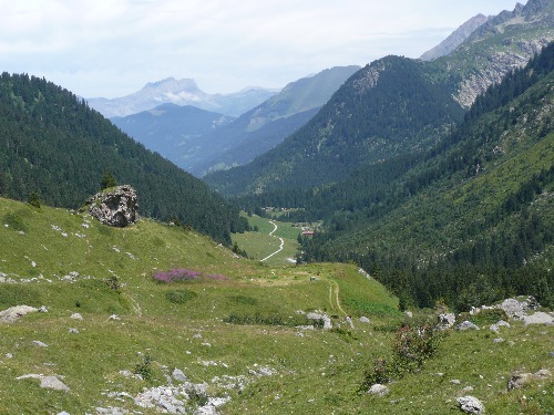
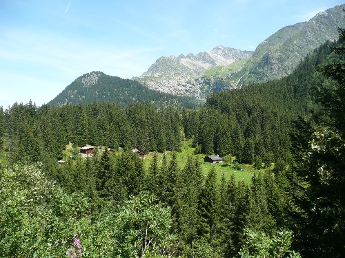
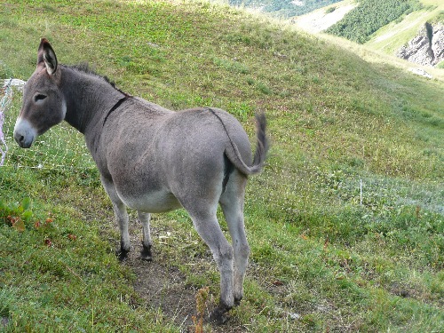
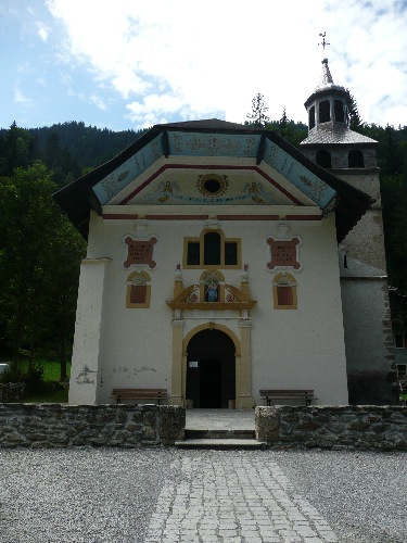
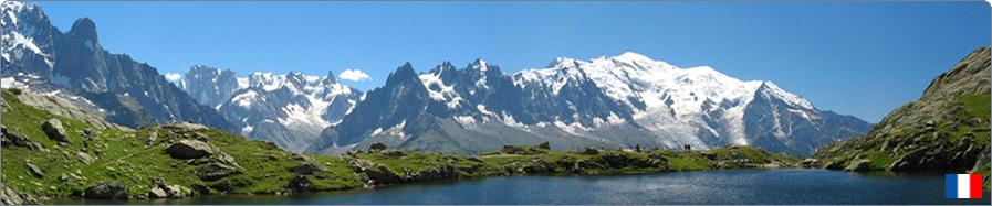
 28 - Tour of Mont-Blanc  Nowadays, there are a vast number of ways to make ones “Tour du Mont-Blanc”. Whatever option you choose, the TMB is for experienced hikers in good physical shape, given the uneven ground, the hiking time and the sequence of hiking days. The actual hiking time is on average 6 hours per day, with an average elevation gain of 700 to 900 m. The recommended period is from late June to early September for passable passes. Purists will say that the TMB is done carrying the backpack, anticlockwise and in full in 9 to 12 days according to the stages and recovery days one allows (distance about 170 km with 10 km of elevation gain). So you can organize your TMB alone and book your nights in shelters before departure or choose between the different suggestions organized by hiking agencies. Programs vary according to: • The period of 6 to 10 days (there are also U-turns north or south in 5 days). • Types of accommodation (guarded refuge, holiday cottages or hotels with more comfort). • With or without transfers to shorten certain stops less attractive and encourage access to the most remarkable sites. • With or without carrying a backpack. Most suggested Tours are performed anticlockwise. (France, Italy, Switzerland, France). With the transport of your backpack by car from one stage to another, you only need to carry a light day pack, which changes your life (especially for people with back problems). I am giving away “my” Tour du Mont-Blanc called “Comfort” done in six days in a clockwise direction (probably easier than the anticlockwise version) but with the backpack. Day 1: Chamonix to Argentière via the Lac Blanc and the Lacs de Chézerys Half a day’s hike for the first day. One takes the Flégère cable car in Les Praz-de-Chamonix, then the “highway” route towards the Lac Blanc (2,352 m). The Lac Blanc or inescapable hiking in Chamonix (and the world that goes with it). Postcard panoramic scenery of the Mont-Blanc range almost in its entirety: the Mont-Blanc, the Aiguille du Midi, the Mer de Glace, the Drus, the Tour and Argentière glaciers. Ibex for sure on the way. From the Lac Blanc, a long descent of 900 m through the Lacs de Chézerys then through the forest to Argentière, which will make the thighs of the least trained suffer the next day! You can see hikes N° 2 and N° 3 for more information on the Lac Blanc or Lacs de Chézerys (even if the route is different). Day 2: Trient to Champex via Bovine A short transfer from Argentière allows you to reach the village of Trient in Switzerland. The second day is refreshing and rural between larch forests and high mountain pastures. From the Bovine Pastures, the view is panoramic on Martigny, the Swiss Valley and the Rhone Valley. The evening stop is a quiet resort in the delightful site of the Champex alpine lake. Nevertheless, a long and demanding day with 750 m ascent and 850 m descent. You can view hike N° 22 which describes the route in reverse, from Champex to Col de Forclaz. Day 3: Champex to La Fouly A quiet day of recovery with only 3 hours of hiking and a low elevation of 450 m on uncommonly followed paths through valleys and waterfalls. La Fouly is a pretty Swiss chalets village. France, Italy and Switzerland meet at the Mont-Dolent summit overlooking the village. Day 4: La Fouly to Arnuva via Col Ferret The itinerary follows either the classic tour of the Grand Col Ferret (2,537 m), or a less followed variation by the Petit Col Ferret (2,490m), these passes mark the border between Switzerland and Italy. Stunning views of the Swiss and Italian Val Ferret. The climb through alpine pastures and herds of sheep leads to a pass that gives access to the gully “Combe des Fonds”. View of the Dolent glacier. The climb continues along the stream that runs through the gully, up to a snowfield that heralds the “Petit Col Ferret”. The trail then goes down to Arnuva the Italian Val Ferret via the Elena refuge and its alpine meadows (2,062 m). Another beautiful elevation for this day, ascent 950 m and descent 900 m, under the gaze of glaciers and the Jorasses. From Arnuva, you take a shuttle to join Courmayeur. You get there early enough to enjoy the famous and touristic “village” of Courmayeur and enjoy an excellent Italian ice-cream among other things. Day 5: Cantine de la Visaille to Chapieux via the Col de La Seigne and Ville-des-Glaciers A short transfer from Courmayeur allows one to reach Cantine de la Visaille in the Italian Val Vény, at the foot of the Miage glacier. After crossing the Arp Vieille bridge, one crosses the marshy meadow of the Combal plateau, then one climbs up sharp bends to the Elisabetta Soldini refuge (2,195 m). Climb to the Col de La Seigne (2,516m) which marks the return to France, with superb views on the Italian side of Mont-Blanc. Then a long descent to the remote valley of Chapieux (1,549 m) via Ville-des-Glaciers. A day with an elevation gain of 950 m and 900 m downhill. Day 6: Les Chapieux to Notre-Dame-de-la-Gorge via the Col du Bonhomme Another lovely elevation for this final day, 900 m ascent up to the Croix du Col du Bonhomme refuge (2,433 m) with views of the Beaufortain and Tarentaise. A long descent of 1,200 m to Notre-Dame-de-La-Gorge and its baroque chapel in the Contamines-Montjoie valley. A transfer from Notre-Dame-de-La-Gorge brings you back to the station of Saint-Gervais-le-Fayet. © All reproduction prohibited. | ||
 | ||